Image


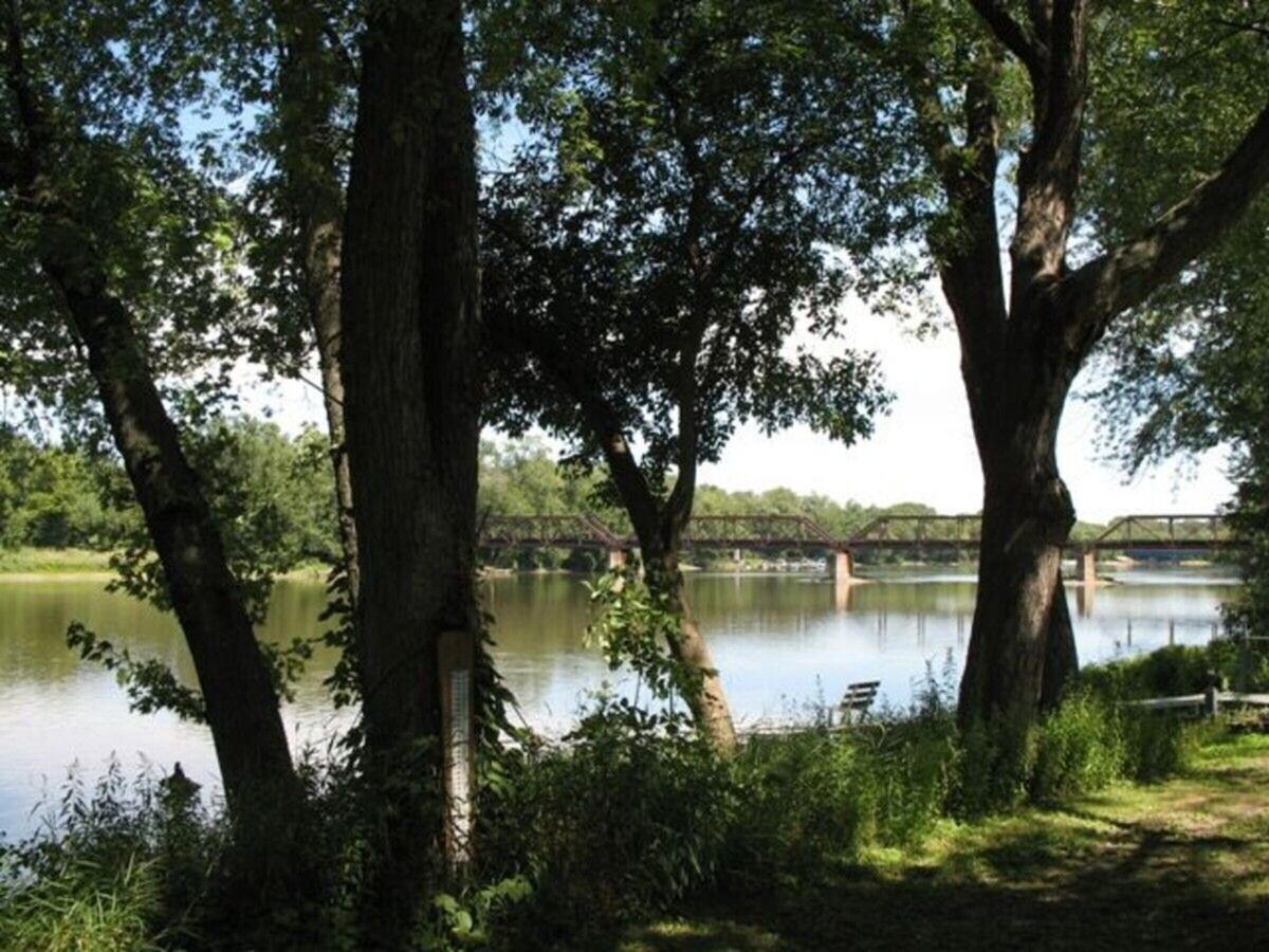
The National Weather Service (NWS) has issued a flood warning, predicting that the Rock River will peak at approximately 11.5 feet in Rockton by Saturday, April 5, 2024, before starting to gradually recede.
The Village of Roscoe announced late Wednesday afternoon:
In response to these developments and out of an abundance of caution, the Village of Roscoe is making sandbags available to residents. While the risk to structures remains low at this time, we encourage those in potential flood zones to prepare accordingly. Sandbags are available for pickup at the Roscoe Public Works Department, 5402 Swanson Road.
Rain and snow caused the river to rise to 9.75 feet at press time, early Wednesday evening, Apr. 3, 2024. During times of high water, residents can monitor 48-hour predictions on the NWS website.
Even at 7 feet in Rockton, low-lying areas of Riverside Park near Roscoe are already inundated. Some of the river banks along Edgemere Terrace started to overflow at 8 feet.
But the NWS doesn't call it a flood until the river reaches 10 feet in Rockton, when low-lying structures would be threatened along Edgemere Terrace, downstream in Roscoe. At 9 feet, low-lying parts of Settlers Park in Rockton would be under water.
On March 25, 1975, the Rock River reached a record 15.54 feet in Rockton. It reached 15.13 feet on March 17, 2019. At those levels, water would threaten multiple low-lying roads, even Main Street Rockton, Hawick Street, Old River Road, Roscoe Road, and Prairie Hill Road.