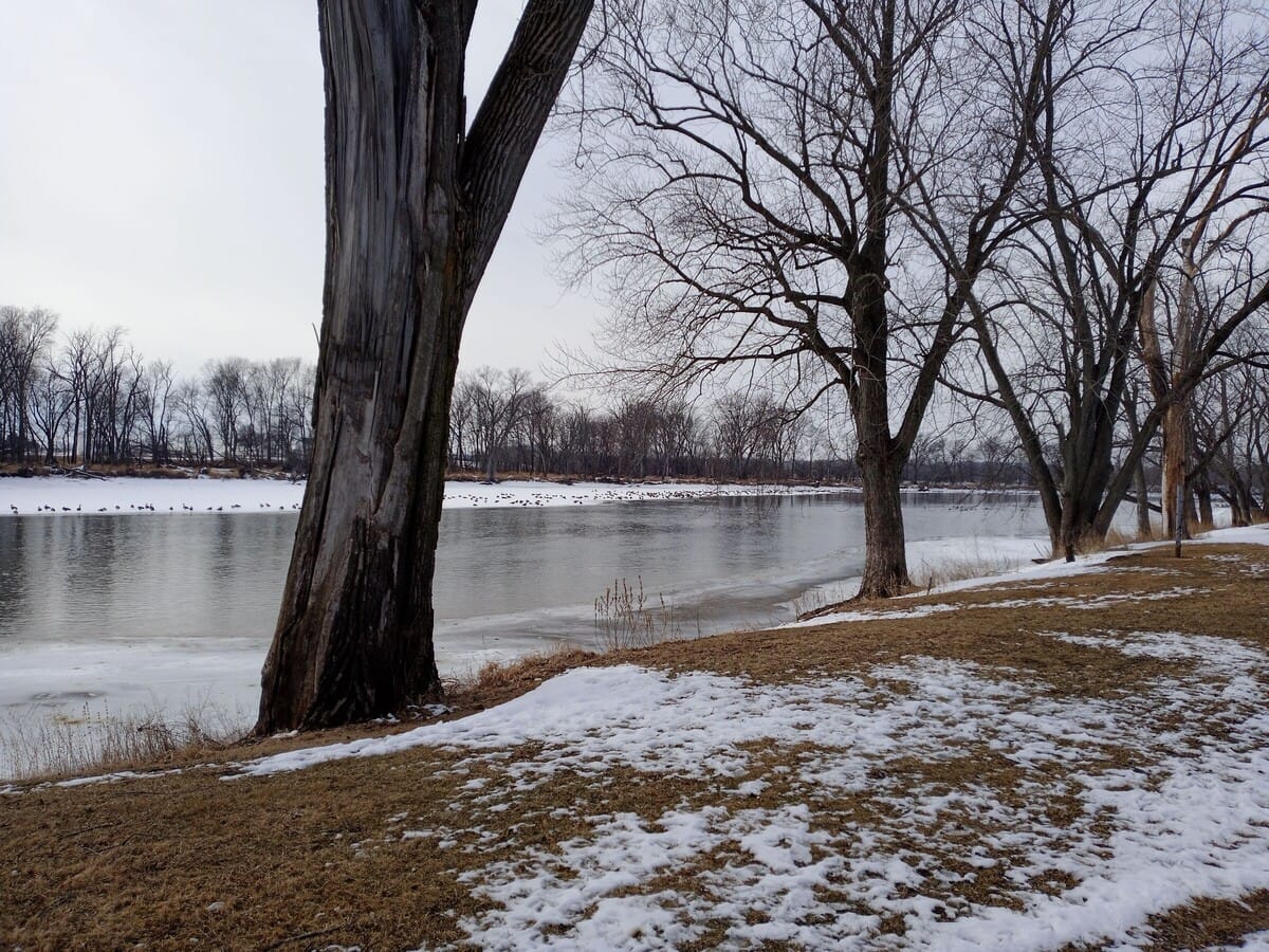
Minor flooding expected on the Rock River this week
Low-lying areas of Riverside Park, Settlers Park, and Edgemere Terrace may be affected.

UPDATE: The Rock River is now expected to crest at 9.6 feet, affecting only low-lying river banks and parks. It reached 8.64 feet Friday morning.
The National Weather Service (NWS) has issued a flood watch for the Rock River at Rockton until Friday evening, Mar. 3, 2023. During times of high water, residents can monitor 48-hour predictions on the NWS website.
Low-lying areas of Roscoe's Riverside Park began to flood on Monday. By Tuesday night, water was expected to overflow low-lying banks along Edgemere Terrace near Roscoe.
Downstream, flooding is possible beginning Friday evening from Swanson Road in Roscoe to Shorewood Park in Loves Park.
In Rockton, low-lying parts of Settlers Park in Rockton are predicted to be under water on Wednesday night. The Rock River will probably exceed 10 feet in Rockton on Friday night. If so, waters would also reach low-lying structures closer to the river in Edgemere Terrace, downstream in Roscoe. The National Weather Service doesn't expect the northern part of Edgemere Terrace to be threatened. The river is predicted to crest in Rockton at 10.3 feet on Saturday and Sunday.
Our free newsletter gives you the news from Roscoe and Rockton.
On March 25, 1975, the Rock River reached a record 15.54 feet in Rockton. At those levels, water would threaten multiple low-lying roads, even Main Street Rockton, Hawick Street, Old River Road, Roscoe Road, and Prairie Hill Road. The last time it exceeded 15 feet was March 17, 2019.
The Sugar River is also under a flood warning, comparable to flood levels experienced in July 1984.
The Pecatonica River reached 10.4 feet Tuesday night. It may reach 12 feet by Thursday morning, when low-lying sections of the Winnebago County Fairgrounds and Rivers Edge Campground east of Shirland would be inundated.